Fayl:Administrative map of Italy showing regions, provinces and communes.png

Bu prevyuning hajmi: 463 × 599 piksel. Boshqa oʻlchamlari: 185 × 240 piksel | 371 × 480 piksel | 593 × 768 piksel | 791 × 1 024 piksel | 1 632 × 2 112 piksel.
Asl fayl (1 632 × 2 112 piksel, fayl hajmi: 198 KB, MIME tipi: image/png)
Qisqa izoh
| Taʼrif |
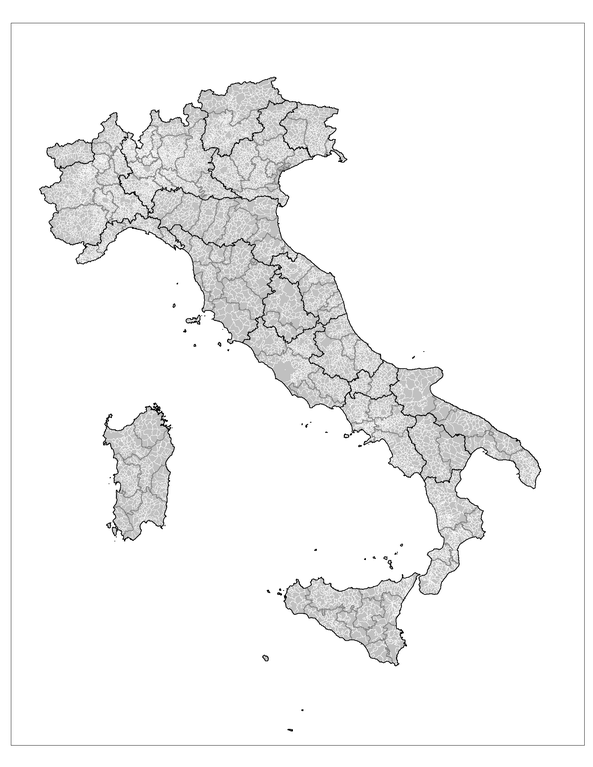
English: Administrative map of Italy showing the regions (black borders), the provinces (grey borders), and the communes (white borders). |
||
| Sanasi | |||
| Manba | Own work using: MapInfo Professional v8.5 (and various mapping resources) | ||
| Muallif | Rarelibra | ||
| Ruxsat (Bu faylning takror foydalanilishi) |
|
||
| Other versions |
Derivative works of this file: |

|
File:Regions, provinces and municipalities in Italy.svg is a vector version of this file. It should be used in place of this PNG file when not inferior.
File:Administrative map of Italy showing regions, provinces and communes.png → File:Regions, provinces and municipalities in Italy.svg
For more information, see Help:SVG. |
 |
Fayl tarixi
Faylning biror paytdagi holatini koʻrish uchun tegishli sana/vaqtga bosingiz.
| Sana/Vaqt | Miniatura | Oʻlchamlari | Foydalanuvchi | Izoh | |
|---|---|---|---|---|---|
| joriy | 14:25, 29-Noyabr 2007 | | 1 632 × 2 112 (198 KB) | Rarelibra | updated map - better borders, total conflation, and new color schema |
| 22:27, 5-Yanvar 2007 |  | 816 × 1 056 (57 KB) | Rarelibra | Map of the municipalities of Italy. Created by ~~~~ for public domain use, using MapInfo Professional v8.5 and various mapping resources. |
Fayllarga ishoratlar
Bu faylga quyidagi sahifa bogʻlangan:
Faylning global foydalanilishi
Ushbu fayl quyidagi vikilarda ishlatilyapti:
- ar.wikipedia.org loyihasida foydalanilishi
- arz.wikipedia.org loyihasida foydalanilishi
- be.wikipedia.org loyihasida foydalanilishi
- cy.wikipedia.org loyihasida foydalanilishi
- fa.wikipedia.org loyihasida foydalanilishi
- fi.wikipedia.org loyihasida foydalanilishi
- fr.wikipedia.org loyihasida foydalanilishi
- hi.wikipedia.org loyihasida foydalanilishi
- hy.wikipedia.org loyihasida foydalanilishi
- ia.wikipedia.org loyihasida foydalanilishi
- kk.wikipedia.org loyihasida foydalanilishi
- ko.wikipedia.org loyihasida foydalanilishi
- mk.wikipedia.org loyihasida foydalanilishi
- nl.wikinews.org loyihasida foydalanilishi
- ro.wikipedia.org loyihasida foydalanilishi
- ru.wikipedia.org loyihasida foydalanilishi
- sv.wikipedia.org loyihasida foydalanilishi
- tg.wikipedia.org loyihasida foydalanilishi
- www.wikidata.org loyihasida foydalanilishi
- zh-min-nan.wikipedia.org loyihasida foydalanilishi
- zh.wikipedia.org loyihasida foydalanilishi