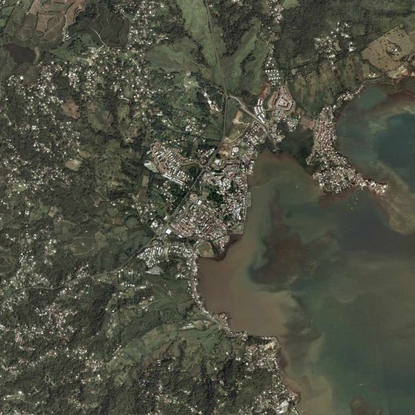
Fayl:Carte aerienne du robert ShockymapServer.jpg
Carte_aerienne_du_robert_ShockymapServer.jpg (587 × 587 piksel, fayl hajmi: 83 KB, MIME tipi: image/jpeg)
Fayl tarixi
Faylning biror paytdagi holatini koʻrish uchun tegishli sana/vaqtga bosingiz.
| Sana/Vaqt | Miniatura | Oʻlchamlari | Foydalanuvchi | Izoh | |
|---|---|---|---|---|---|
| joriy | 11:14, 2009-yil 9-mart |  | 587 × 587 (83 KB) | Lavermeil | {{Information |Description={{fr|1=la commune du robert 97231}} |Source=page jaune |Author=satellite |Date= |Permission= |other_versions= }} <!--{{ImageUpload|full}}--> |
Fayllarga ishoratlar
Bu faylga quyidagi sahifa bogʻlangan:
Faylning global foydalanilishi
Ushbu fayl quyidagi vikilarda ishlatilyapti:
- azb.wikipedia.org loyihasida foydalanilishi
- ca.wikipedia.org loyihasida foydalanilishi
- ceb.wikipedia.org loyihasida foydalanilishi
- ce.wikipedia.org loyihasida foydalanilishi
- el.wikipedia.org loyihasida foydalanilishi
- en.wikipedia.org loyihasida foydalanilishi
- es.wikipedia.org loyihasida foydalanilishi
- eu.wikipedia.org loyihasida foydalanilishi
- fr.wikipedia.org loyihasida foydalanilishi
- fr.wikivoyage.org loyihasida foydalanilishi
- he.wikipedia.org loyihasida foydalanilishi
- it.wikipedia.org loyihasida foydalanilishi
- mzn.wikipedia.org loyihasida foydalanilishi
- nl.wikipedia.org loyihasida foydalanilishi
- no.wikipedia.org loyihasida foydalanilishi
- oc.wikipedia.org loyihasida foydalanilishi
- pl.wikipedia.org loyihasida foydalanilishi
- pt.wikipedia.org loyihasida foydalanilishi
- sh.wikipedia.org loyihasida foydalanilishi
- simple.wikipedia.org loyihasida foydalanilishi
- sk.wikipedia.org loyihasida foydalanilishi
- sr.wikipedia.org loyihasida foydalanilishi
- sv.wikipedia.org loyihasida foydalanilishi
- sw.wikipedia.org loyihasida foydalanilishi
- uk.wikipedia.org loyihasida foydalanilishi
- www.wikidata.org loyihasida foydalanilishi
- zh.wikipedia.org loyihasida foydalanilishi


