Fayl:USA Florida location map.svg

Size of this PNG preview of this SVG file: 619 × 599 piksel. Boshqa oʻlchamlari: 248 × 240 piksel | 496 × 480 piksel | 793 × 768 piksel | 1 058 × 1 024 piksel | 2 115 × 2 048 piksel | 1 132 × 1 096 piksel.
Asl fayl (SVG fayl, asl oʻlchamlari 1 132 × 1 096 piksel, fayl hajmi: 578 KB)
Qisqa izoh
| Taʼrif |
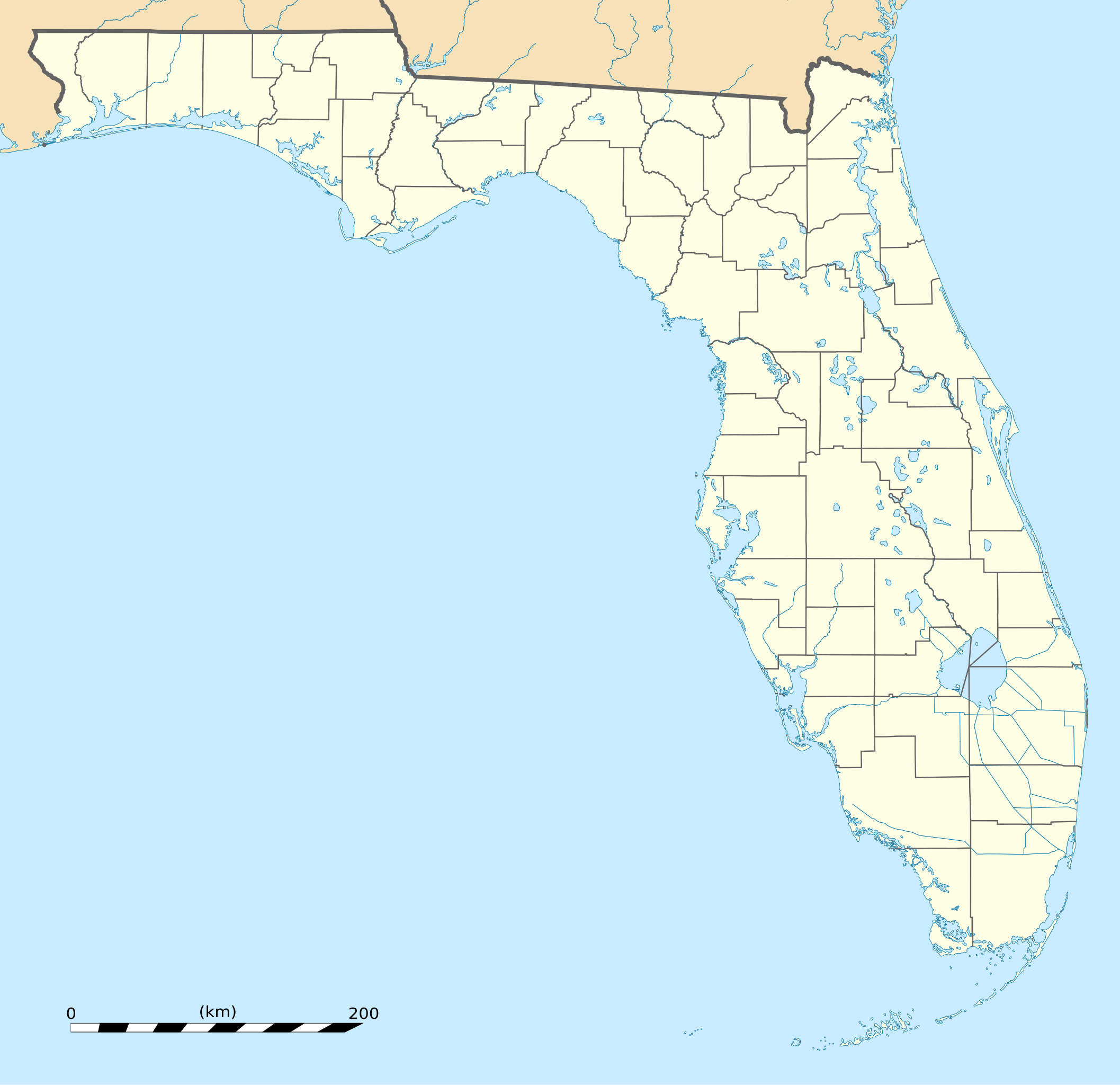
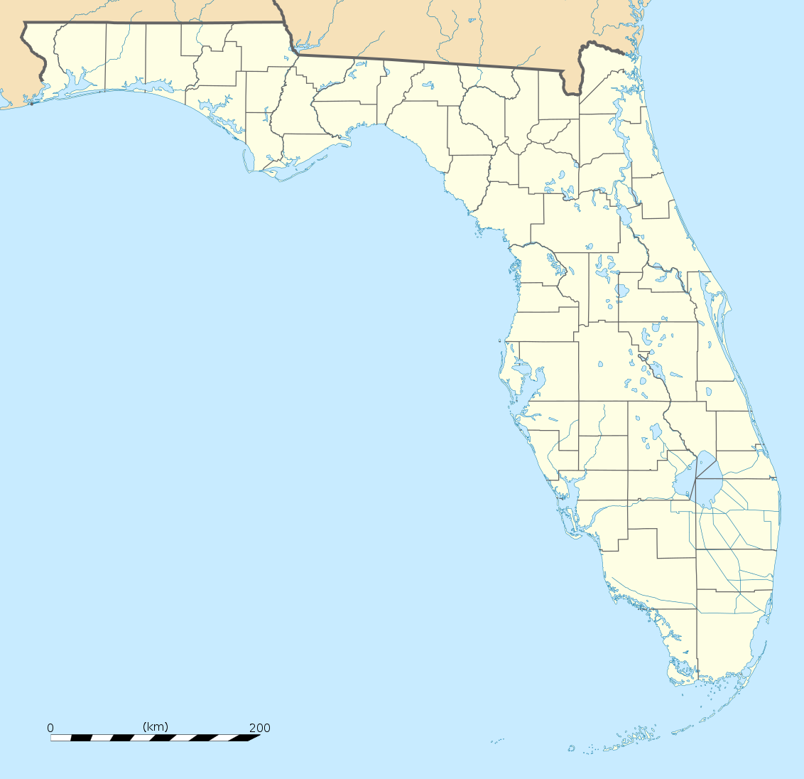
English: Blank administrative map of the State of Florida, USA, for geo-location purpose, with counties boundaries.
Français : Carte administrative vierge de l'état de Floride, États-Unis, destinée à la géolocalisation, avec limite des comtés. Equirectangular projection, WGS84 datum
Scale: 1:2,000,000
|
| Sanasi | |
| Manba |
Own work |
| Muallif | Eric Gaba (Sting - fr:Sting) |
| Other versions |
Derivative works of this file: Derivative works of this file:
|
| SVG genesis |


| Camera location | | View this and other nearby images on: OpenStreetMap |
|---|
Litsenziyalash
| Attribution required |
|---|
| Any use of this map can be made as long as you credit me (Eric Gaba – Wikimedia Commons user: Sting) as the author. A message with a reply address would also be greatly appreciated. |
I, the copyright holder of this work, hereby publish it under the following license:
This file is licensed under the Creative Commons Attribution 3.0 Unported license.
- Siz erkinsiz:
- ulashishga – ishlanmani nusxalash, tarqatish va uzatish
- remiks qilishga – ishni moslashtirishga
- Quyidagi shartlar asosida:
- atribut – Siz tegishli litsenziyaga havolani taqdim etishingiz va oʻzgartirishlar kiritilganligini koʻrsatishingiz kerak. Siz buni har qanday oqilona yoʻl bilan qilishingiz mumkin, lekin litsenziar Sizni yoki Sizning foydalanishingizni ma'qullashini taklif qiladigan tarzda emas.
Fayl tarixi
Faylning biror paytdagi holatini koʻrish uchun tegishli sana/vaqtga bosingiz.
| Sana/Vaqt | Miniatura | Oʻlchamlari | Foydalanuvchi | Izoh | |
|---|---|---|---|---|---|
| joriy | 20:25, 15-Dekabr 2008 | | 1 132 × 1 096 (578 KB) | Sting | Counties boundaries: thinner strokes |
| 19:49, 15-Dekabr 2008 |  | 1 132 × 1 096 (578 KB) | Sting | == Summary == {{Location|27|45|00|N|83|49|30|W|scale:4000000}} <br/> {{Information |Description={{en|Blank administrative map of the State of Florida, USA, for geo-location purpose, with counties boundaries.}} {{fr|Ca |
Fayllarga ishoratlar
More than 100 pages use this file. The following list shows the first 100 pages that use this file only. A full list is available.
- Alachua
- Alford (Florida)
- Altamonte Springs
- Altha
- Altoona (Florida)
- Alva (Florida)
- Andover (Florida)
- Andrews (Florida)
- Anna Maria
- Apalachicola (Florida)
- Apollo Beach
- Apopka
- Arcadia (Florida)
- Archer (Florida)
- Asbury Lake
- Astatula
- Astor (Florida)
- Atlantic Beach (Florida)
- Atlantis (Florida)
- Auburndale (Florida)
- Aventura (Florida)
- Avon Park
- Azalea Park
- Babson Park
- Bagdad (Florida)
- Bal Harbour
- Baldwin (Florida)
- Bartow (Florida)
- Bascom
- Bay Harbor Islands
- Bay Hill
- Bay Lake
- Bay Pines
- Bayonet Point
- Bayport (Florida)
- Bayshore Gardens
- Beacon Square
- Bee Ridge
- Bell (Florida)
- Bellair-Meadowbrook Terrace
- Belle Glade
- Belle Glade Camp
- Belle Isle
- Belleair
- Belleair Beach
- Belleair Bluffs
- Belleair Shore
- Belleview
- Bellview
- Beverly Beach
- Beverly Hills (Florida)
- Big Coppitt Key
- Big Pine Key
- Biscayne Park
- Bithlo
- Black Diamond (Florida)
- Bloomingdale (Florida)
- Blountstown
- Boca Del Mar
- Boca Pointe
- Boca Raton
- Bokeelia
- Bonifay
- Bonita Springs
- Bonnie Lock-Woodsetter North
- Boulevard Gardens
- Bowling Green (Florida)
- Boyette
- Boynton Beach
- Bradenton, Florida
- Bradenton Beach
- Brandon (Florida)
- Branford
- Brent (Florida)
- Briny Breezes
- Bristol (Florida)
- Broadview-Pompano Park
- Broadview Park
- Bronson (Florida)
- Brooker
- Brookridge
- Brooksville (Florida)
- Broward Estates
- Brownsville (Florida)
- Buckhead Ridge
- Buckingham (Florida)
- Bunche Park
- Bunnell
- Burnt Store Marina
- Bushnell (Florida)
- Butler Beach
- Callahan
- Callaway (Florida)
- Campbell (Florida)
- Campbellton
- Canal Point
- Cape Canaveral (Florida)
- Captiva (Florida)
- Carol City
- Carrabelle
View more links to this file.
Faylning global foydalanilishi
Ushbu fayl quyidagi vikilarda ishlatilyapti:
- af.wikipedia.org loyihasida foydalanilishi
- an.wikipedia.org loyihasida foydalanilishi
- ar.wikipedia.org loyihasida foydalanilishi
- ast.wikipedia.org loyihasida foydalanilishi
- azb.wikipedia.org loyihasida foydalanilishi
- تالاهاسی
- فورت لادردیل، فلوریدا
- ایقل لیک، فلوریدا
- کی وست، فلوریدا
- وست پام بیچ، فلوریدا
- برادنتون بیچ، فلوریدا
- سانشاین اکریز، فلوریدا
- آیلند والک، فلوریدا
- آسیلا، فلوریدا
- قاردن قروو، فلوریدا
- واکینا، فلوریدا
- اسپرینق ریج، فلوریدا
- رالی، فلوریدا
- وستلیامن، فلوریدا
- لیک میستیک، فلوریدا
- براونزدیل، فلوریدا
- ریورریج، فلوریدا
- قاردنر، فلوریدا
- بریدیل، فلوریدا
- مانسون، فلوریدا
- سن کاستل، فلوریدا
- مانتیورا، فلوریدا
- آوو ماریا، فلوریدا
- اونا، فلوریدا
- تایقر پوینت، فلوریدا
- آریپکا، فلوریدا
- بروستر، فلوریدا
- پوینت بیکر، فلوریدا
- واترقیت، فلوریدا
- میولات، فلوریدا
- میدو اوکس، فلوریدا
- فلوریداتاون، فلوریدا
- کبنا کالنی، فلوریدا
- فورت قرین اسپرینقز، فلوریدا
- مانت کارمل، فلوریدا
- ورونا واک، فلوریدا
- هریتیج پاینز، فلوریدا
- کانرتون، فلوریدا
Ushbu faylni koʻproq global foydalanishdan koʻring.