Fayl:Africa land cover location map.jpg

Bu prevyuning hajmi: 635 × 600 piksel. Boshqa oʻlchamlari: 254 × 240 piksel | 508 × 480 piksel | 813 × 768 piksel | 1 084 × 1 024 piksel | 1 525 × 1 440 piksel.
Asl fayl (1 525 × 1 440 piksel, fayl hajmi: 523 KB, MIME tipi: image/jpeg)

|
This map image could be re-created using vector graphics as an SVG file. This has several advantages; see Commons:Media for cleanup for more information. If an SVG form of this image is available, please upload it and afterwards replace this template with
{{vector version available|new image name}}.
It is recommended to name the SVG file “Africa land cover location map.svg”—then the template Vector version available (or Vva) does not need the new image name parameter. |


Qisqa izoh
| Taʼrif |
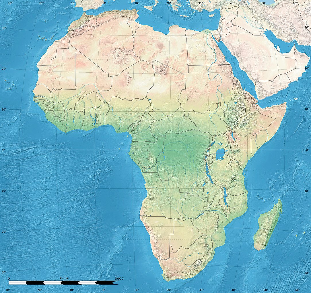
English: Simulated land cover map of Africa showing the natural aspect of the land with bathymetry as it could be seen from space; for geo-location purposes. Borders as in July 2011.
Français : Carte de la couverture du sol simulée de l'Afrique montrant l'aspect naturel des terres telles qu'elles seraient vues depuis l'espace, avec bathymétrie ; destinée à la géolocalisation. Frontières telles qu'en juillet 2011. Lambert azimutal equal-area projection, WGS84 datum
|
| Sanasi | Iyul 2010, updated 2011-07 |
| Manba |
Blank background map: Natural Earth II (public domain) by Tom Patterson, US National Park Service |
| Muallif | Tom Patterson and Eric Gaba (Sting - fr:Sting) |
| Ruxsat (Bu faylning takror foydalanilishi) |
Public domain |
| Other versions |
|


| Camera location | | View this and other nearby images on: OpenStreetMap |
|---|
Litsenziyalash
| This work was previously under Public Domain, or a Free License. It has been digitally enhanced and/or modified. This derivative work has been (or is hereby) released into the public domain by its author, Sting at the French Wikipedia project. This applies worldwide. In some countries this is not legally possible; if so:
|
Fayl tarixi
Faylning biror paytdagi holatini koʻrish uchun tegishli sana/vaqtga bosingiz.
| Sana/Vaqt | Miniatura | Oʻlchamlari | Foydalanuvchi | Izoh | |
|---|---|---|---|---|---|
| joriy | 18:54, 14-Iyul 2011 | | 1 525 × 1 440 (523 KB) | Sting | Sudan/South Sudan 07-2011 border update |
| 13:33, 19-Iyul 2010 |  | 1 525 × 1 440 (440 KB) | Sting | Color profile | |
| 02:55, 7-Iyul 2010 |  | 1 525 × 1 440 (447 KB) | Sting | Again... | |
| 02:49, 7-Iyul 2010 |  | 1 525 × 1 440 (441 KB) | Sting | Public domain => no copyright mention | |
| 20:29, 3-Iyul 2010 |  | 1 525 × 1 440 (447 KB) | Sting | == {{int:filedesc}} == {{Location|00|00|00|N|15|00|00|E|scale:30000000}} <br/>{{Information |Description={{en|Land cover map of Africa simulating the natural aspect of the land with bathymetry; for geo-location purposes.} |
Fayllarga ishoratlar
Bu faylga quyidagi sahifa bogʻlangan:
Faylning global foydalanilishi
Ushbu fayl quyidagi vikilarda ishlatilyapti:
- als.wikipedia.org loyihasida foydalanilishi
- ar.wikipedia.org loyihasida foydalanilishi
- az.wikipedia.org loyihasida foydalanilishi
- ce.wikipedia.org loyihasida foydalanilishi
- de.wikipedia.org loyihasida foydalanilishi
- en.wikipedia.org loyihasida foydalanilishi
- frr.wikipedia.org loyihasida foydalanilishi
- fr.wikipedia.org loyihasida foydalanilishi
- hr.wikipedia.org loyihasida foydalanilishi
- Predložak:Klikabilna mapa start
- Predložak:Etnička karta/BiH/Fojnica
- Predložak:Etnička karta/BiH/Prozor-Rama
- Predložak:Etnička karta/BiH/Uskoplje
- Suradnik:Sombrero/sandbox
- Predložak:Etnička karta/BiH/Konjic
- Predložak:Etnička karta/BiH/Jablanica
- Predložak:Etnička karta/BiH/Kreševo
- Predložak:Etnička karta/BiH/Kupres
- Predložak:Etnička karta/BiH/Bugojno
- Predložak:Etnička karta/BiH/Brčko
- Modul:Location map
- Predložak:Location map
- Modul:Location map/data/Afrika
- Modul:Location map/doc
- Predložak:Location map/doc
- Modul:Location map/data/Afrika/doc
- inh.wikipedia.org loyihasida foydalanilishi
- lv.wikipedia.org loyihasida foydalanilishi
- myv.wikipedia.org loyihasida foydalanilishi
- pt.wikipedia.org loyihasida foydalanilishi
- ru.wikipedia.org loyihasida foydalanilishi
- si.wikipedia.org loyihasida foydalanilishi
- vi.wikipedia.org loyihasida foydalanilishi