Fayl:Guinea-Bissau adm location map.svg

Asl fayl (SVG fayl, asl oʻlchamlari 992 × 652 piksel, fayl hajmi: 152 KB)
Qisqa izoh
| Taʼrif |
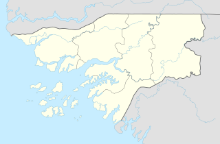
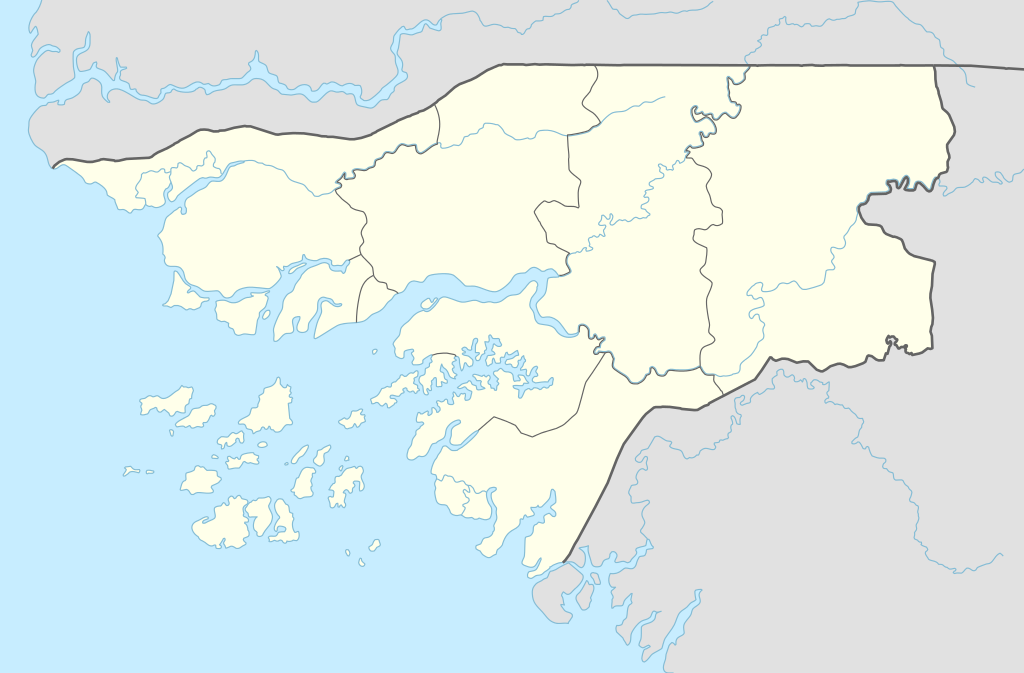
Deutsch: Positionskarte von Guinea-Bissau
English: Location map of Guinea-Bissau
|
||||||||||||
| Sanasi | |||||||||||||
| Manba |
Own work using:
|
||||||||||||
| Muallif | NordNordWest | ||||||||||||

|
This map has been made or improved in the German Kartenwerkstatt (Map Lab). You can propose maps to improve as well.
|
Litsenziyalash
Usage of this file with:

explanatory notes: Legally binding is only the full legalcode. For a free usage I recommend to respect the following licence conditions:
1. Provide my name as given above: NordNordWest,
2. a copy of, or the URI for, the applicable license: https://creativecommons.org/licenses/by-sa/3.0/de/legalcode,
3. the title of the work,
4. in the case of an adaptation, a credit identifying the use of the work in the adaptation.
This license and the rights granted hereunder will terminate automatically upon any breach by you of the terms of this license. Any of the above conditions can be waived if you get permission from the copyright holder. If you have questions or wish differing conditions, please contact me through nnwest or my discussion page ![]() t-online.de
t-online.de
- Siz erkinsiz:
- ulashishga – ishlanmani nusxalash, tarqatish va uzatish
- remiks qilishga – ishni moslashtirishga
- Quyidagi shartlar asosida:
- atribut – Siz tegishli litsenziyaga havolani taqdim etishingiz va oʻzgartirishlar kiritilganligini koʻrsatishingiz kerak. Siz buni har qanday oqilona yoʻl bilan qilishingiz mumkin, lekin litsenziar Sizni yoki Sizning foydalanishingizni ma'qullashini taklif qiladigan tarzda emas.
- bir xil ulashish – Agar Siz materialni remiks qilsangiz, oʻzgartirsangiz yoki unga asoslansangiz, oʻz hissalaringizni asl nusxadagi kabi bir xil yoki mos litsenziya ostida tarqatishingiz kerak.

Fayl tarixi
Faylning biror paytdagi holatini koʻrish uchun tegishli sana/vaqtga bosingiz.
| Sana/Vaqt | Miniatura | Oʻlchamlari | Foydalanuvchi | Izoh | |
|---|---|---|---|---|---|
| joriy | 19:10, 2014-yil 29-noyabr | | 992 × 652 (152 KB) | NordNordWest | == {{int:filedesc}} == {{Information |Description= {{de|1=Positionskarte von Guinea-Bissau}} {{en|1=Location map of Guinea-Bissau}} {{Location map series N |stretching=100 |top=12.9 |bottom=10.6 |left=-16.9 |right=-13.4 }} |Source={{Own using}} * Unite... |
Fayllarga ishoratlar
Bu faylga quyidagi 2 sahifalar bogʻlangan:
Faylning global foydalanilishi
Ushbu fayl quyidagi vikilarda ishlatilyapti:
- an.wikipedia.org loyihasida foydalanilishi
- ast.wikipedia.org loyihasida foydalanilishi
- azb.wikipedia.org loyihasida foydalanilishi
- bn.wikipedia.org loyihasida foydalanilishi
- ca.wikipedia.org loyihasida foydalanilishi
- ceb.wikipedia.org loyihasida foydalanilishi
- Plantilya:Location map Guinea-Bissau
- Bula
- Koliba
- Rio Tala
- Rio Grande
- Rio Cuiana
- Rio Pete
- Coli
- Buba
- Rio Balé
- Rio Cussesse
- Rio Cuia
- Quebo
- Bulama
- Caio (pagklaro)
- Tite
- Cassini
- Tent Island
- Marin (pagklaro)
- Mayo (pagklaro)
- Bane
- Rio de Santa Maria
- Rio Chire
- Rio Cancha
- Middle Bank
- Rio Tuba
- Piai
- Formosa (pagklaro)
- Pinto
- Ilha das Arcas
- Ilha do Mel
- Rio Juma
- Ilha das Cobras
- Ponta da Areia
- Canal do Meio
Ushbu faylni koʻproq global foydalanishdan koʻring.