Fayl:Pedestrian deck at the south exit of Anjo Station.jpg
Bu prevyuning hajmi: 800 × 600 piksel. Boshqa oʻlchamlari: 320 × 240 piksel | 640 × 480 piksel | 1 024 × 768 piksel | 1 280 × 960 piksel | 2 560 × 1 920 piksel | 3 648 × 2 736 piksel.
Asl fayl (3 648 × 2 736 piksel, fayl hajmi: 3,26 MB, MIME tipi: image/jpeg)
Qisqa izoh
| Taʼrif |
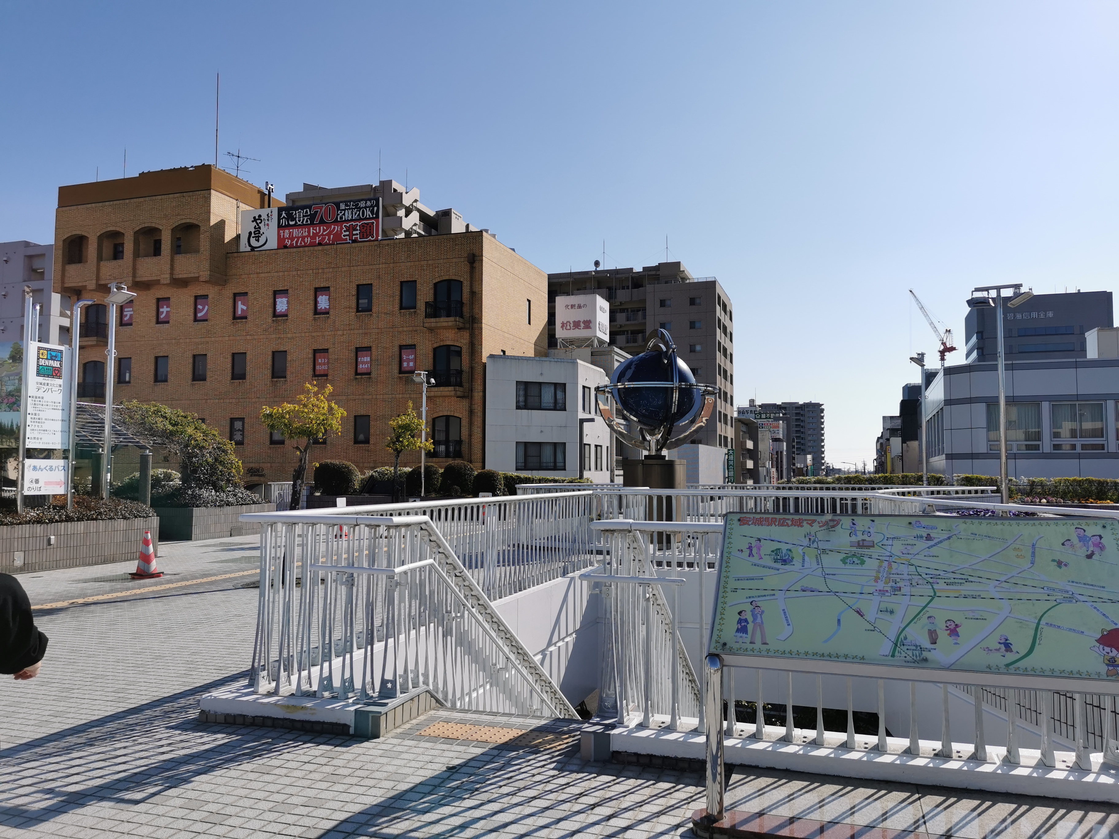
日本語: JR安城駅の南口ペデストリアンデッキ上にて市街地方面を撮影。 |
| Sanasi | |
| Manba | Oʻzimning ishim |
| Muallif | Akahito Yamabe |
| Camera location | | View this and other nearby images on: OpenStreetMap |
|---|
Litsenziyalash
I, the copyright holder of this work, hereby publish it under the following license:
| This file is made available under the Creative Commons CC0 1.0 Universal Public Domain Dedication. | |
| The person who associated a work with this deed has dedicated the work to the public domain by waiving all of their rights to the work worldwide under copyright law, including all related and neighboring rights, to the extent allowed by law. You can copy, modify, distribute and perform the work, even for commercial purposes, all without asking permission.
|
Fayl tarixi
Faylning biror paytdagi holatini koʻrish uchun tegishli sana/vaqtga bosingiz.
| Sana/Vaqt | Miniatura | Oʻlchamlari | Foydalanuvchi | Izoh | |
|---|---|---|---|---|---|
| joriy | 11:17, 12-May 2021 | | 3 648 × 2 736 (3,26 MB) | Akahito Yamabe | Uploaded own work with UploadWizard |
Fayllarga ishoratlar
Bu faylga quyidagi sahifa bogʻlangan:
Faylning global foydalanilishi
Ushbu fayl quyidagi vikilarda ishlatilyapti:
- en.wikipedia.org loyihasida foydalanilishi
- et.wikipedia.org loyihasida foydalanilishi
- ja.wikipedia.org loyihasida foydalanilishi