Fayl:Spratly Islands relief location map.svg

Size of this PNG preview of this SVG file: 671 × 599 piksel. Boshqa oʻlchamlari: 269 × 240 piksel | 538 × 480 piksel | 860 × 768 piksel | 1 147 × 1 024 piksel | 2 293 × 2 048 piksel | 720 × 643 piksel.
Asl fayl (SVG fayl, asl oʻlchamlari 720 × 643 piksel, fayl hajmi: 2,23 MB)
Qisqa izoh
| Taʼrif |
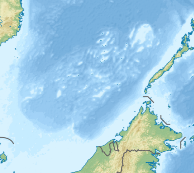
English: Location map of the Spratly Islands relief
N-S stretching 102.0004% in SVG file. Geographic limits of the map:
|
| Sanasi | |
| Manba | Oʻzimning ishim |
| Muallif | LuciferAhriman |
| Other versions |
|

Litsenziyalash
I, the copyright holder of this work, hereby publish it under the following license:
This file is licensed under the Creative Commons Attribution-Share Alike 4.0 International license.
- Siz erkinsiz:
- ulashishga – ishlanmani nusxalash, tarqatish va uzatish
- remiks qilishga – ishni moslashtirishga
- Quyidagi shartlar asosida:
- atribut – Siz tegishli litsenziyaga havolani taqdim etishingiz va oʻzgartirishlar kiritilganligini koʻrsatishingiz kerak. Siz buni har qanday oqilona yoʻl bilan qilishingiz mumkin, lekin litsenziar Sizni yoki Sizning foydalanishingizni ma'qullashini taklif qiladigan tarzda emas.
- bir xil ulashish – Agar Siz materialni remiks qilsangiz, oʻzgartirsangiz yoki unga asoslansangiz, oʻz hissalaringizni asl nusxadagi kabi bir xil yoki mos litsenziya ostida tarqatishingiz kerak.
Fayl tarixi
Faylning biror paytdagi holatini koʻrish uchun tegishli sana/vaqtga bosingiz.
| Sana/Vaqt | Miniatura | Oʻlchamlari | Foydalanuvchi | Izoh | |
|---|---|---|---|---|---|
| joriy | 08:47, 17-Oktyabr 2020 | | 720 × 643 (2,23 MB) | LuciferAhriman | Uploaded own work with UploadWizard |
Fayllarga ishoratlar
Bu faylga quyidagi 2 sahifalar bogʻlangan:
Faylning global foydalanilishi
Ushbu fayl quyidagi vikilarda ishlatilyapti:
- bcl.wikipedia.org loyihasida foydalanilishi
- en.wikipedia.org loyihasida foydalanilishi
- West York Island
- Southwest Cay
- Taiping Island
- James Shoal
- Thitu Island
- Loaita Island
- Sin Cowe Island
- Flat Island (South China Sea)
- Swallow Reef
- Namyit Island
- Northeast Cay
- Nanshan Island
- Lankiam Cay
- Spratly Island
- Sand Cay
- Amboyna Cay
- Johnson South Reef
- Subi Reef
- Mischief Reef
- Ladd Reef
- Erica Reef
- Mariveles Reef
- Louisa Reef
- Investigator Shoal
- Ardasier Reef
- Dallas Reef
- Zhongzhou Reef
- Half Moon Shoal
- Fiery Cross Reef
- Cuarteron Reef
- Gaven Reefs
- Second Thomas Shoal
- Irving Reef
- Hughes Reef
- Collins Reef
- Sabina Shoal
- Bombay Castle (South China Sea)
- North Danger Reef
- Western Reef
- Cornwallis South Reef
- Royal Captain Shoal
- Northeast Investigator Shoal
- First Thomas Shoal
- Third Thomas Shoal
- Commodore Reef
- Loaita Cay
- Module:Location map/data/Spratly Islands relief
Ushbu faylni koʻproq global foydalanishdan koʻring.